
Explain the concept of drainage basin morphometry. How do morphometric parameters influence the groundwater conditions of an area? IAS 2024, 20 Marks
Explain the concept of drainage basin morphometry. How do morphometric parameters influence the groundwater conditions of an area? IAS 2024, 20 Marks

Introduction:
Drainage basin morphometry refers to the quantitative analysis of the physical characteristics of a drainage basin. It involves measuring and analyzing various parameters such as area, length, slope, shape, and relief of the basin.
Concept of Drainage Basin Morphometry
- It involves mathematical and statistical analysis to study the physical dimensions and relationships of the basin and its drainage network.
- Components of Drainage Basin Morphometry:
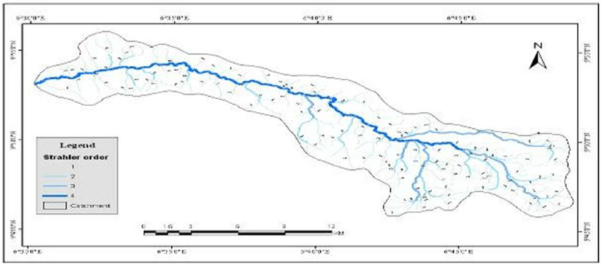
- Linear Aspects: Includes stream order, stream length, and bifurcation ratio.
- Areal Aspects: Includes drainage density, stream frequency, and basin shape indices.
- Relief Aspects: Includes basin relief, relief ratio, and slope.
- Significance:
- Helps in understanding erosion processes, surface runoff, and sediment transport.
- Provides insights into hydrological behavior and water resource management.
Influence of Morphometric Parameters on Groundwater Conditions
a. Drainage Density
- The total length of streams per unit area of the basin.
- Impact on Groundwater:
- High drainage density: Indicates less infiltration and lower groundwater recharge due to more surface runoff.
- Low drainage density: Favors greater infiltration and higher groundwater recharge.
b. Stream Frequency
- The number of stream segments per unit area.
- Impact:
- High stream frequency: Implies steep slopes and less infiltration.
- Low stream frequency: Suggests flatter terrain and better groundwater recharge conditions.
c. Bifurcation Ratio
- Ratio of the number of streams in one order to the next higher order.
- Impact:
- High bifurcation ratio: Reflects structural control and poor permeability, limiting groundwater movement.
- Low bifurcation ratio: Indicates natural drainage development and better groundwater potential.
d. Basin Shape Index
- Indicates the shape of the drainage basin (elongated or circular).
- Impact:
- Elongated basins: Longer runoff time and better opportunities for groundwater recharge.
- Circular basins: Faster surface runoff and reduced groundwater recharge.
e. Relief and Slope
- Measures the elevation differences within the basin.
- Impact:
- Steeper slopes: Promote runoff and reduce infiltration.
- Gentle slopes: Enhance infiltration and improve groundwater recharge.
f. Length of Overland Flow
- Average horizontal distance water travels before entering a stream channel.
- Impact:
- Shorter overland flow: Indicates quick surface runoff, limiting recharge.
- Longer overland flow: Suggests prolonged infiltration, enhancing groundwater levels.
Conclusion:
Drainage basin morphometry provides valuable insights into the geomorphological characteristics of a watershed, which can help in understanding the hydrological processes, erosion patterns, and landform evolution within the basin. By analyzing these parameters, researchers can make informed decisions regarding land use planning, water resource management, and environmental conservation efforts.